A major transportation project is reshaping part of University Avenue through San Diego’s Mid-City communities. The University Bikeway is now under construction, bringing a new 2.8-mile bicycle route together with road resurfacing, upgraded crossings, bus boarding improvements, curb ramps, traffic-calming features, and changes intended to make the corridor easier to use for people traveling in different ways.
SANDAG broke ground on the project in March 2026. The route is anticipated to open to the public in late 2027, although that remains a projected completion period rather than a guaranteed opening date. Until construction is complete, residents, businesses, commuters, and visitors should expect conditions along the corridor to change as work progresses from block to block.
This guide explains where the bikeway will run, what is included beyond bicycle lanes, how it connects with the larger regional network, and what travelers should consider during construction. For more regional infrastructure coverage, visit our Local Projects hub, Getting Around guide, and Parks and Outdoors section.
What the University Bikeway Project Is Building
The University Bikeway is not simply a painted line added to one side of the street. It is a coordinated street-improvement project being delivered by SANDAG with the City of San Diego and other transportation partners.
The project combines bicycle infrastructure with improvements affecting pedestrians, transit passengers, drivers, people using mobility devices, families with strollers, and businesses along University Avenue. This wider scope is important because University Avenue functions as both a neighborhood main street and an east-west transportation corridor.
When construction is complete, the bikeway is expected to connect with other routes across Mid-City, North Park, and toward La Mesa. That will make it part of a larger network rather than an isolated recreational path.
The Route Connects Mid-City With a Larger Bike Network
Where the 2.8-Mile Bikeway Will Run
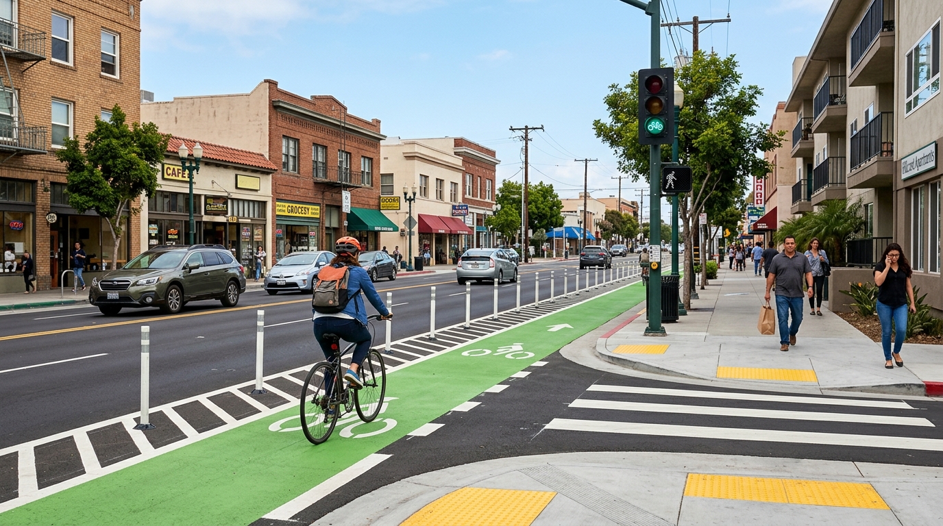
The main portion of the University Bikeway follows University Avenue between Estrella Avenue and 69th Street. A connecting segment will also run along Estrella Avenue between University Avenue and Orange Avenue.
This alignment places the project through an active urban corridor containing homes, schools, shops, restaurants, community services, transit stops, and busy intersections. It is being designed as an everyday transportation route rather than a trail separated from surrounding neighborhoods.
The western end near Estrella Avenue will connect toward other planned and completed bikeways through Mid-City and North Park. The eastern end at 69th Street is positioned to connect with bicycle improvements continuing into La Mesa. That broader connection is intended to help close gaps between local bicycle routes that previously ended without a comfortable continuation.
Readers exploring the surrounding area can use our North Park guide and future Mid-City community coverage to connect transportation information with neighborhood dining, public spaces, cultural destinations, and local businesses.
Bike Signals, Buffers, Crossings, and Traffic Calming
Official project information identifies several street-safety features planned along the route. These include bicycle signals, speed bumps, high-visibility pavement markings, buffered bicycle areas, and curb ramps.
A bicycle signal gives people riding bicycles a dedicated signal phase or clear direction at certain intersections. Its purpose is to reduce confusion where bicycles, turning vehicles, pedestrians, and through traffic meet. Road users should still follow the signal displayed for their movement rather than assuming they have the right of way because they are inside a bikeway.
Buffered bikeway treatments create additional space between bicycle travel and nearby motor vehicles. The exact street configuration may vary by block because curb locations, intersections, driveways, bus stops, parking, and available road width are not identical throughout the corridor.
Curb-ramp and crossing improvements can also benefit people who do not ride bicycles. Smoother sidewalk transitions are important for wheelchair users, people using walkers, parents pushing strollers, and travelers pulling carts. High-visibility markings can help make crossings more apparent, although every road user must continue watching for traffic.
Traffic-calming measures are intended to influence how vehicles move through neighborhood streets. They are not a substitute for enforcement or attentive driving, but they can change the street environment so that lower speeds feel more natural.
The Project Also Changes Transit and Road Conditions
Bus Boarding Platforms and University Avenue Resurfacing
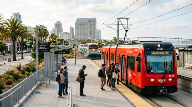
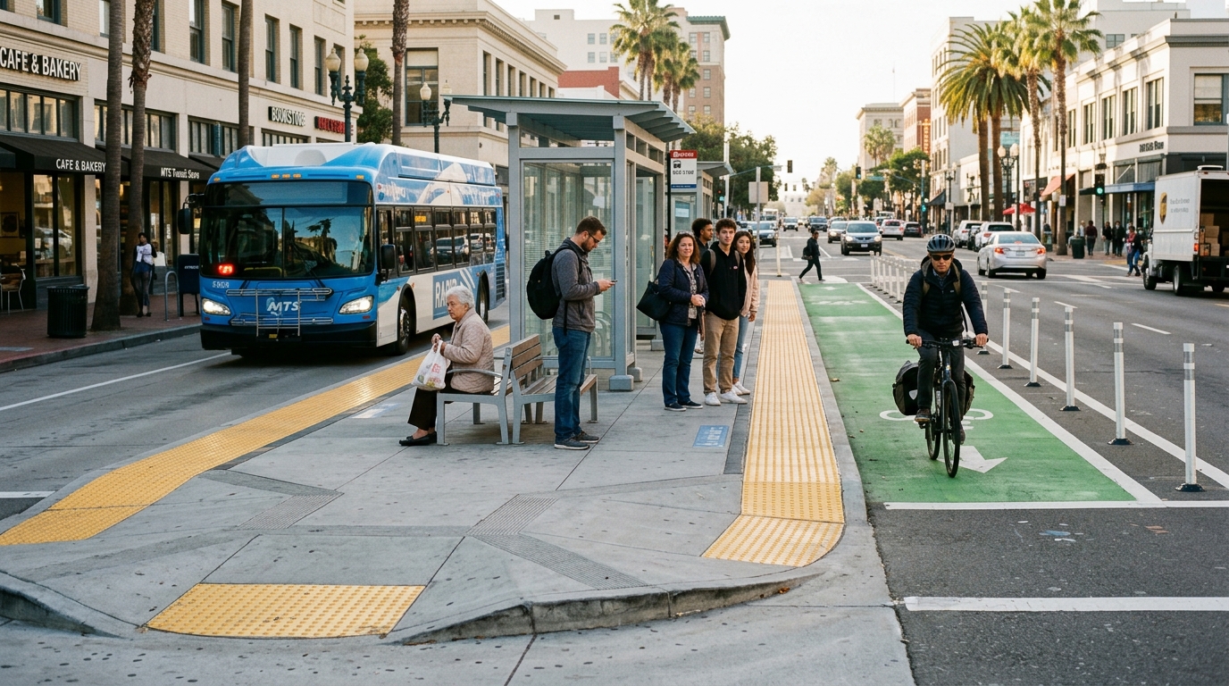
The University Bikeway project includes bus boarding platforms at 14 major intersections. These platforms are intended to support more efficient passenger boarding while coordinating transit stops with the new bikeway design.
Bus boarding platforms are especially important on streets where a bicycle route and transit stop occupy the same limited curb area. A carefully designed platform can give passengers a defined place to wait and board without requiring a bus to move unpredictably across the bikeway.
People riding bicycles should slow down near transit stops and yield where the final design and posted markings require it. Passengers should look for bicycles before crossing a bikeway to board or leave a bus. The presence of a designated platform does not eliminate the need for awareness from both groups.
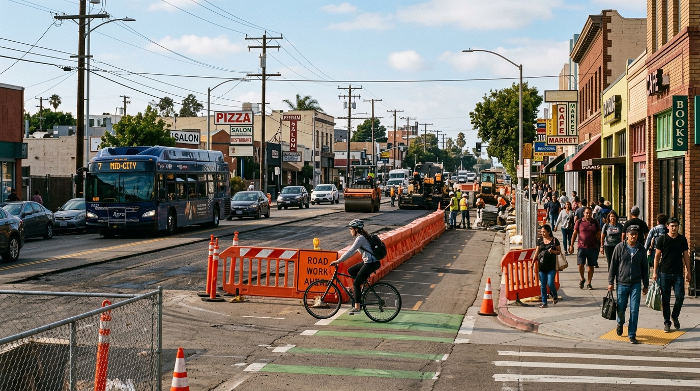
SANDAG has also partnered with the City of San Diego to resurface University Avenue for the full length of the project. Resurfacing should produce a more consistent road surface after construction, but completing that work may require temporary lane closures, parking restrictions, equipment staging, and changes in access.
The project therefore affects more than future bicycle travel. Drivers may encounter a different lane arrangement, transit users may board from redesigned stops, pedestrians will use upgraded crossings, and businesses may operate next to changing work zones until construction is complete.
Current Status, Cost, and Expected Opening
The Bikeway Is Under Construction, Not Yet Open
The University Bikeway officially entered the construction phase with its March 2026 groundbreaking. SANDAG currently anticipates opening it to the public in late 2027.
That status should be described accurately. The project is funded and under construction, but it is not yet a completed bikeway. Individual sections may appear finished before the full corridor opens, but markings, signals, barriers, crossings, and intersection work may still be incomplete.
The approximately $44.5 million project is funded through a combination of state, federal, regional, and City of San Diego funding. The sources identified by SANDAG include a California Active Transportation Program grant, federal funds, TransNet revenue, and City funding.
The University Bikeway is part of the Regional Bike Plan Early Action Program approved by the SANDAG Board in 2013. At the March 2026 groundbreaking, SANDAG described it as one of six bikeway projects then under construction, together representing more than 18 miles of new bikeways.
Construction timelines can move. Utility conflicts, unexpected underground conditions, weather, material delivery, permitting, inspection, and coordination with other street work may alter the sequence or completion date. Readers should treat late 2027 as the current target and check official construction notices before making plans based on a presumed opening.
How to Use the Corridor During Construction and After Opening
University Avenue will remain a working commercial and neighborhood corridor throughout construction. The safest route or easiest entrance to a business may change temporarily, even when the business itself remains open.
Drivers should follow temporary lane markings, reduced-speed instructions, parking restrictions, and flagger directions. Do not enter a closed lane simply because construction equipment is not visible at that moment. Work areas may contain uneven pavement, exposed utility covers, temporary barriers, or workers outside a driver’s immediate view.
People walking should use marked temporary routes and avoid crossing through fenced construction zones. A familiar sidewalk may be closed or redirected to the opposite side of the street. Travelers using wheelchairs, mobility devices, or strollers may benefit from checking the next intersection before committing to a block with visible construction.
Bus riders should verify their stop before traveling. Boarding locations can shift temporarily when curb work, paving, or platform construction blocks a normal stop. Use current transit information and inspect posted notices rather than assuming the stop will remain exactly where it was during a previous trip.
People riding bicycles should not assume that a partially built section is ready for normal use. Temporary pavement edges, construction plates, narrowed lanes, incomplete buffers, and unfinished signals may make a work zone different from the final design. Follow construction detours and use a route appropriate for your comfort and experience.
Residents
Residents and visitors supporting businesses along University Avenue should look for posted access signs and consider approaching from a nearby side street when direct curb access is unavailable. Construction can make a destination appear closed even when its entrance has only moved temporarily.
Once the bikeway opens, first-time users should learn the new intersection patterns before riding the entire route at high speed. Watch for dedicated bicycle signals, transit boarding areas, driveway crossings, turning vehicles, pedestrians, and sections where the street configuration changes.
The completed bikeway may also create new opportunities for car-light neighborhood trips. Readers can combine the corridor with our developing Car-Free San Diego County guide, Things to Do hub, and Restaurants and Cafés directory.
The University Bikeway represents a significant investment in how people move through Mid-City. Its importance lies not only in its 2.8-mile length, but also in the way it combines bicycle access with road resurfacing, upgraded crossings, transit platforms, traffic calming, and connections to other communities.
For the remainder of construction, the practical advice is straightforward: expect changing conditions, verify transit stops, follow temporary traffic controls, continue supporting accessible local businesses, and do not mistake a partially completed block for an officially opened route.
For current construction updates and the latest projected opening information, consult the official SANDAG University Bikeway announcement and subscribe to agency construction notices.